

Properties of Nocturnal Mixed Layers (NML)
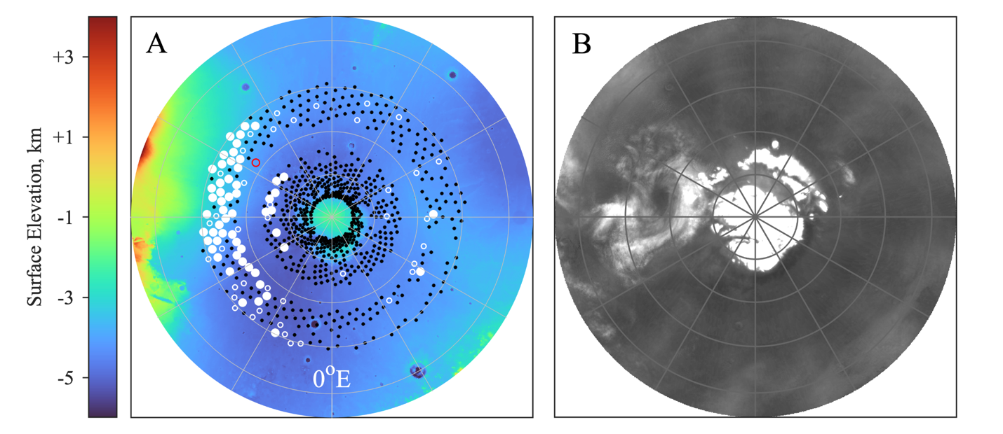
(A) The spatial distribution of NMLs at Ls = 118–133° on a map of surface elevation And (B) a polar mapping of annular cloud. A is a composite of RO measurements from three years: 59–68°N in MY27, 74–81°N in MY26, and 81–85°N in MY25 (See figure 5 in documentation for explanation).
Introduction
Mars Global Survey radio occultation data is used to investige the behavior of nocturnal mixed layers (NMLs), which form when radiative cooling in a water-ice cloud causes convective instability.
Citation
D.P. Hinson (2022). Mars Global Surveyor Radio Occultation Nocturnal Mixed Layer Properties, NASA Planetary Data System, https://doi.org/10.17189/3jkg-2z75.
