VIMS data sets are archived by the PDS (Imaging Node) at the Jet Propulsion Laboratory and USGS - Flagstaff.
Raw Data Products
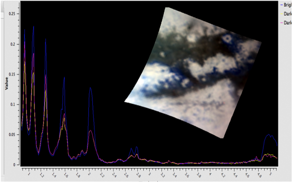
VIMS QUBEs -
Online Access PDS-D Search
Higher Order Products
VIMS Rings Occultation Data -- Preliminary Version
Access via ISIS - The ISIS 3 software package can be used to process data from the Imaging Science Subsystem (ISS), Visual and Infrared Mapping Spectrometer (VIMS) and RADAR. You will find
step-by-step instructions for cartographic and science data to create your own products.
A
Guide to the Planetary Atlas that introduces search options and a tutorial on review and retrieval of Cassini data can be found at the Imaging Node.
Enhanced Search
Searches constrained by improved target definition and geometric parameters for the surfaces of Saturn and the satellites, as well as for rings observations, are available.
more
Higher Order Products -
Ring Occultation Profiles- reduced & calibrated optical depth profiles for Saturn's rings derived from VIMS stellar occultation observations.
Continuing Refinement of Documentation and Calibration
IR Pixel Timing
VIMS is being used in modes that were not a part of the initial instrument design. Because the VIMS infrared channel uses an articulating secondary mirror to produce a raster scan of the scene being observed, users who wish to construct geometry for individual pixels within the scan must deal with characteristics of the VIMS internal clock. A white paper,
VIMS IR Pixel Timing, has been generated and the resulting refinement has been included in the ISIS software package.
Previous Radiometric Calibration Reports
VIMS Final Report of Radiometric Calibration 1/25/2018
We update the VIMS Radiometric Calibration, RC19, including data to the end of
mission in September, 2017 and derive the calibration extending back to
before the Jupiter fly-by in 2000.
Clark et al. (2018) VIMS Wavelength and Radiometric Calibration 19, Final Report and
the calibration data files are in in a gziped tar file.
We derive the final radiometric calibration of the mission for the Visual
and Infrared Mapping Spectrometer (VIMS) on Cassini. The VIMS instrument
has undergone shifts in the wavelength calibration of the spectrometer
after launch, with large shifts during the Jupiter fly-by in 2000,
a period of stability until Saturn orbit insertion, then small shifts
throughout the orbital tour until the end of mission in September, 2017.
The wavelength shifts require a time-dependent radiometric calibration
technique to be deployed to preserve radiometric accuracy. Herein we
quantify the time-dependent wavelength shift, and describe a compensatory
scheme that provides an accurate calibration for both specific intensity
and I/F for VIMS measurements made during the Cassini Mission. We also
discuss unresolved issues.
Other Useful Products and Other Resources for Interpreting the Data
See the
Master Schedule for a time ordered listing of observations by all instruments.
Imaging Node Aids
SPICE - Archived Cassini SPICE ancillary data providing observation geometry (positions, orientations, instrument pointing, time conversions and the like) are available from the PDS
NAIF Node.
Publications - A listing of team members to facilitate literature searches.